普渡无人机无GPS追踪林中人员
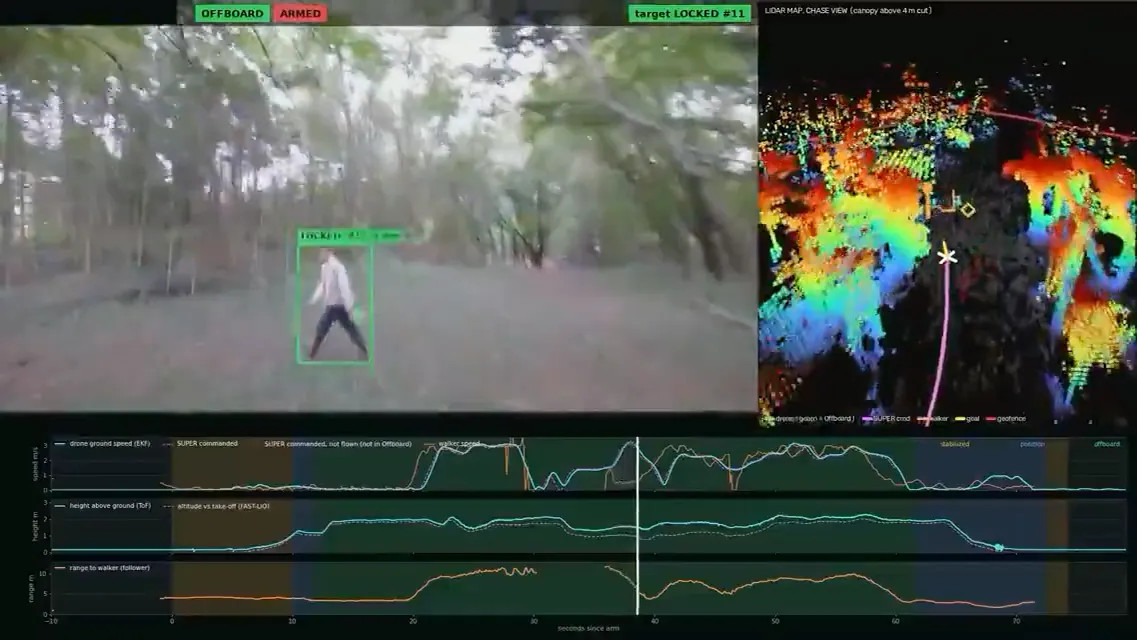
TechSpot 报道,普渡大学 IDEAS Lab 展示了四旋翼无人机在没有 GPS、森林地图和云计算的情况下追踪林中人员。教授 Aniket Bera 发布的44秒 LinkedIn 视频显示,无人机在树木间穿行并进行机载处理,还会在目标被遮挡时预测其移动方向。视频标注的运动规划器为 SUPER,高度估计器为 FAST-LIO。
据 TechSpot 报道 Bera 的视频,该演示表明在卫星定位、预置地图和云端处理不可用时,机载自主导航仍可继续运行。
Serving tech enthusiasts for over 25 years. TechSpot means tech analysis and advice you can trust.
Why it matters: Plenty of off-the-shelf drones can tail a cyclist down a trail these days, but most of them still lean on GPS to keep track of where they are. That's a problem in a forest, where a thick canopy can make the signal pretty unreliable. A lab at Purdue University has now shown off a drone that chases a person through the woods with no GPS at all.
Purdue computer science professor Aniket Bera posted the 44-second video on LinkedIn last Friday. It shows a quadcopter from his IDEAS Lab weaving between trees to keep a person in frame. And the drone works it all out on its own computer, without a map of the forest to rely on. Bera says skipping the cloud matters because a drone banking hard around a thin branch can't afford to wait on a server somewhere.
#Purdue University#IDEAS Lab#SUPER#FAST-LIO#MaRS Lab#Intel NUC#Livox Mid-360